Track to the Clay Pits, near Kingswinford, Staffordshire
Introduction
The photograph on this page of Track to the Clay Pits, near Kingswinford, Staffordshire by Roger D Kidd as part of the Geograph project.
The Geograph project started in 2005 with the aim of publishing, organising and preserving representative images for every square kilometre of Great Britain, Ireland and the Isle of Man.

There are currently over 7.5m images from over 14,400 individuals and you can help contribute to the project by visiting https://www.geograph.org.uk
Track to the Clay Pits, near Kingswinford, Staffordshire
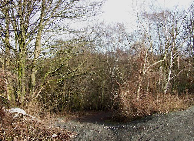
Image: © Roger D Kidd Taken: 26 Dec 2007
The former GWR railway from Wolverhampton to Stourbridge Junction is on a long embankment from beyond Himley and through the claypits. Several ways down have been maintained, and several bridges allow access under the railway from the pits to the road.
Images are licensed for reuse under creativecommons.org/licenses/by-sa/2.0
Image Location
Latitude
52.513088
Longitude
-2.160864