Gates at the end of Commissioner's Road
Introduction
The photograph on this page of Gates at the end of Commissioner's Road by Richard Sutcliffe as part of the Geograph project.
The Geograph project started in 2005 with the aim of publishing, organising and preserving representative images for every square kilometre of Great Britain, Ireland and the Isle of Man.

There are currently over 7.5m images from over 14,400 individuals and you can help contribute to the project by visiting https://www.geograph.org.uk
Gates at the end of Commissioner's Road
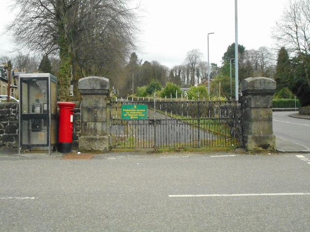
Image: © Richard Sutcliffe Taken: 30 Mar 2020
The gates are for the Commissioner's Road, which leads to Glasgow Corporation Waterworks, Mugdock and Craigmaddie Reservoirs. The gates are padlocked, but access to the road is possible for pedestrians further on by way of a residential road.
Images are licensed for reuse under creativecommons.org/licenses/by-sa/2.0
Image Location
Latitude
55.945163
Longitude
-4.310883