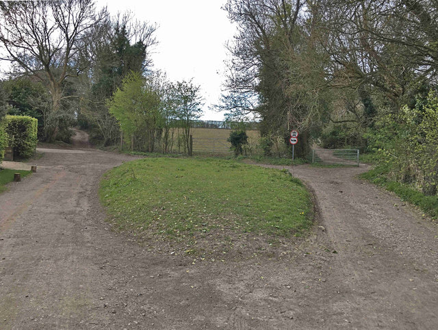
Thirty Acres Barn
Introduction
The photograph on this page of Thirty Acres Barn by Hugh Craddock as part of the Geograph project.
The Geograph project started in 2005 with the aim of publishing, organising and preserving representative images for every square kilometre of Great Britain, Ireland and the Isle of Man.
There are currently over 7.5m images from over 14,400 individuals and you can help contribute to the project by visiting https://www.geograph.org.uk

Image: © Hugh Craddock Taken: 31 Mar 2020
Junction of roads to Leatherhead and Headley in front of Thirty Acres Barn. To the left is Pebble Lane (actually the Roman Road, Stane Street, BOAT 118), to the right the road to Leatherhead (BOAT 116), and out of sight to right and left is Gray's Lane to Ashtead (BOAT 115) and bridleway 119 to Headley Road respectively. Both the roads in the foreground are byways open to all traffic — only the road to Leatherhead isn't, as it is restricted by a traffic regulation order to exclude carriages. This must have been a busier place once — before the Epsom to Leatherhead turnpike, through Ashtead, was opened in 1755.

