Path after Waitrose & next to M40 at West Wycombe
Introduction
The photograph on this page of Path after Waitrose & next to M40 at West Wycombe by Sean Davis as part of the Geograph project.
The Geograph project started in 2005 with the aim of publishing, organising and preserving representative images for every square kilometre of Great Britain, Ireland and the Isle of Man.

There are currently over 7.5m images from over 14,400 individuals and you can help contribute to the project by visiting https://www.geograph.org.uk
Path after Waitrose & next to M40 at West Wycombe
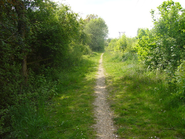
Image: © Sean Davis Taken: 21 May 2010
This public footpath is just past the back of Waitrose at High Wycombe and runs next to M40. The motorway is just to the left and you really feel you can shake hands in the cars speeding past. The path is on the route of the London Green Belt Way long distance path.
Images are licensed for reuse under creativecommons.org/licenses/by-sa/2.0
Image Location
Latitude
51.610316
Longitude
-0.786624