Thames Path Flooded at Maidenhead
Introduction
The photograph on this page of Thames Path Flooded at Maidenhead by Sean Davis as part of the Geograph project.
The Geograph project started in 2005 with the aim of publishing, organising and preserving representative images for every square kilometre of Great Britain, Ireland and the Isle of Man.

There are currently over 7.5m images from over 14,400 individuals and you can help contribute to the project by visiting https://www.geograph.org.uk
Thames Path Flooded at Maidenhead
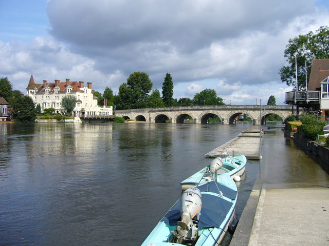
Image: © Sean Davis Taken: 28 Jul 2007
The River Thames Path National Trail flooded in front of Maidenhead Rowing Club. In the background is Maidenhead Bridge and the Thames Riviera Hotel.
Images are licensed for reuse under creativecommons.org/licenses/by-sa/2.0
Image Location
Latitude
51.523184
Longitude
-0.701648