Oakdene, Houghley Lane
Introduction
The photograph on this page of Oakdene, Houghley Lane by Stephen Craven as part of the Geograph project.
The Geograph project started in 2005 with the aim of publishing, organising and preserving representative images for every square kilometre of Great Britain, Ireland and the Isle of Man.

There are currently over 7.5m images from over 14,400 individuals and you can help contribute to the project by visiting https://www.geograph.org.uk
Oakdene, Houghley Lane
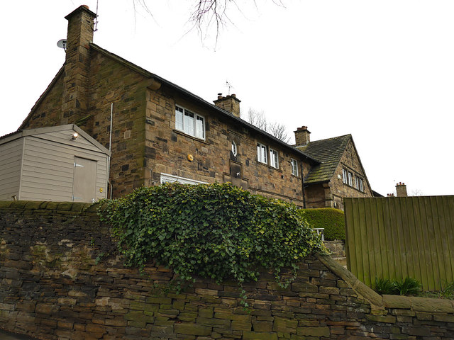
Image: © Stephen Craven Taken: 29 Mar 2020
This is the best photo available from the public road of these houses at the former Hilltop Farm. They are shown on the 1893 OS map but unlike the other cottages at the farm Image are not listed.
Images are licensed for reuse under creativecommons.org/licenses/by-sa/2.0
Image Location
Latitude
53.806448
Longitude
-1.615482