The River Ver near Cottonmill
Introduction
The photograph on this page of The River Ver near Cottonmill by Bill Boaden as part of the Geograph project.
The Geograph project started in 2005 with the aim of publishing, organising and preserving representative images for every square kilometre of Great Britain, Ireland and the Isle of Man.

There are currently over 7.5m images from over 14,400 individuals and you can help contribute to the project by visiting https://www.geograph.org.uk
The River Ver near Cottonmill
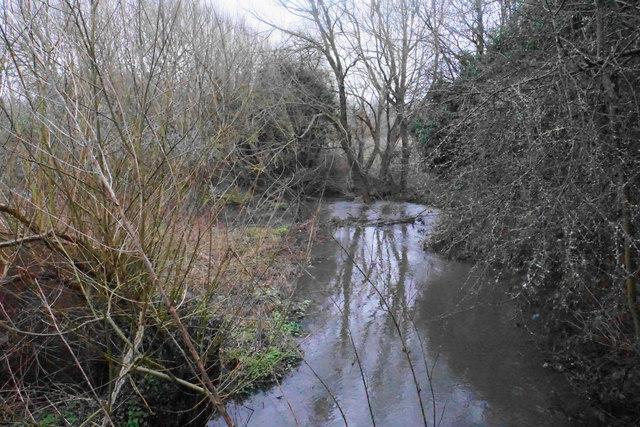
Image: © Bill Boaden Taken: 28 Feb 2020
The river is taking a slow-moving meandering route through a valley which used to have watercress beds.
Images are licensed for reuse under creativecommons.org/licenses/by-sa/2.0
Image Location
Latitude
51.741138
Longitude
-0.332648