'Woodeaves', Hale Barns
Introduction
The photograph on this page of 'Woodeaves', Hale Barns by Anthony O'Neil as part of the Geograph project.
The Geograph project started in 2005 with the aim of publishing, organising and preserving representative images for every square kilometre of Great Britain, Ireland and the Isle of Man.

There are currently over 7.5m images from over 14,400 individuals and you can help contribute to the project by visiting https://www.geograph.org.uk
'Woodeaves', Hale Barns
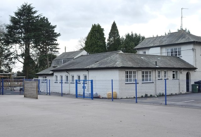
Image: © Anthony O'Neil Taken: 28 Mar 2020
Corner view of the old house with what used to be the toilet block and cloak rooms of the original St Ambrose College. The modern Prep. School now lies to the left where once stood prefab. class rooms and a small wood and pond.
Images are licensed for reuse under creativecommons.org/licenses/by-sa/2.0
Image Location
Latitude
53.369809
Longitude
-2.317977