Longmoor Road - Long Eaton
Introduction
The photograph on this page of Longmoor Road - Long Eaton by David Lally as part of the Geograph project.
The Geograph project started in 2005 with the aim of publishing, organising and preserving representative images for every square kilometre of Great Britain, Ireland and the Isle of Man.

There are currently over 7.5m images from over 14,400 individuals and you can help contribute to the project by visiting https://www.geograph.org.uk
Longmoor Road - Long Eaton
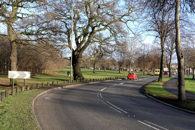
Image: © David Lally Taken: 29 Dec 2007
At this bend the B6002 changes from Petersham Road to Longmoor Road. The Public Open Space formed in the triangle between Longmoor Rd, Bostocks Lane and the M1 forms a pleasant patch of greenery.
Images are licensed for reuse under creativecommons.org/licenses/by-sa/2.0
Image Location
Latitude
52.908291
Longitude
-1.298736