Harbour Road, Groomsport
Introduction
The photograph on this page of Harbour Road, Groomsport by Rossographer as part of the Geograph project.
The Geograph project started in 2005 with the aim of publishing, organising and preserving representative images for every square kilometre of Great Britain, Ireland and the Isle of Man.

There are currently over 7.5m images from over 14,400 individuals and you can help contribute to the project by visiting https://www.geograph.org.uk
Harbour Road, Groomsport
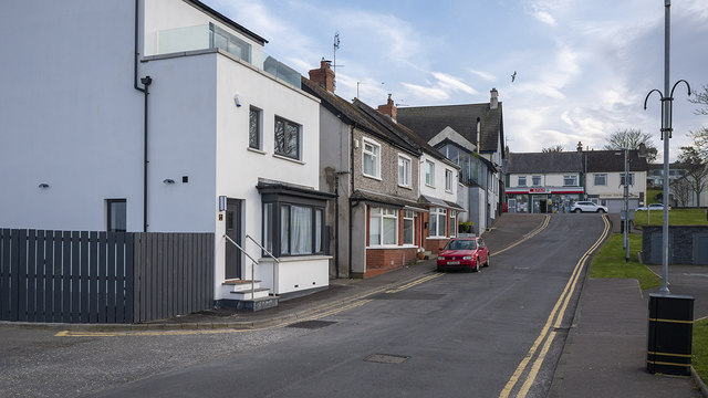
Image: © Rossographer Taken: 24 Mar 2020
Harbour Road in the village of Groomsport. The new build on the left replaces what was once a fish and chip shop Image Taken during the Covid-19 pandemic the local village shop seen at the top of picture - the Spar - was still open and appeared busy but everything else was closed and the village very quiet.
Images are licensed for reuse under creativecommons.org/licenses/by-sa/2.0
Image Location
Latitude
54.676029
Longitude
-5.617207