Field near Underhill
Introduction
The photograph on this page of Field near Underhill by Derek Harper as part of the Geograph project.
The Geograph project started in 2005 with the aim of publishing, organising and preserving representative images for every square kilometre of Great Britain, Ireland and the Isle of Man.

There are currently over 7.5m images from over 14,400 individuals and you can help contribute to the project by visiting https://www.geograph.org.uk
Field near Underhill
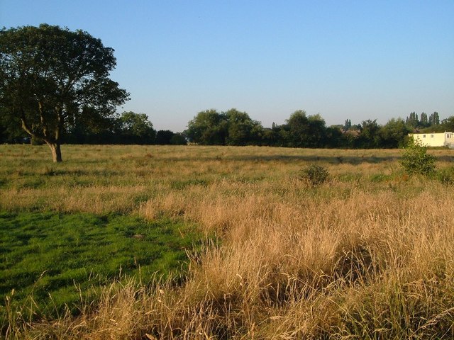
Image: © Derek Harper Taken: 18 Jul 2006
This field beside the Cannock Road (off to the right) represents the first piece of countryside on the northeast edge of Wolverhampton. Seen from the start of Old Hampton Lane.
Images are licensed for reuse under creativecommons.org/licenses/by-sa/2.0
Image Location
Latitude
52.619331
Longitude
-2.093013