Track from Staines Moor to Moor Lane
Introduction
The photograph on this page of Track from Staines Moor to Moor Lane by Sean Davis as part of the Geograph project.
The Geograph project started in 2005 with the aim of publishing, organising and preserving representative images for every square kilometre of Great Britain, Ireland and the Isle of Man.

There are currently over 7.5m images from over 14,400 individuals and you can help contribute to the project by visiting https://www.geograph.org.uk
Track from Staines Moor to Moor Lane
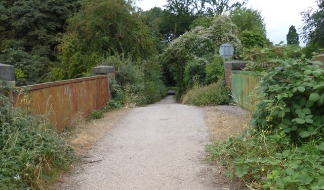
Image: © Sean Davis Taken: 24 Aug 2012
The wide track leads to Moor Lane. Photo is taken from the “Cattle Bridge” or Drover’s Bridge. This consists of three bridges of different dates joined end to end and built between c1840 and 1885. There is a plate girder bridge over the now closed Great Western Railway and Staines Aqueduct, a bridge with two yellow brick arches over the Wraysbury River and a single red brick span over the Southern Railway Staines to Windsor line. This access bridge is the largest surviving monument to the importance of the moor.
Images are licensed for reuse under creativecommons.org/licenses/by-sa/2.0
Image Location
Latitude
51.440232
Longitude
-0.518032