The A47 entering Thurnby, Leicester
Introduction
The photograph on this page of The A47 entering Thurnby, Leicester by Tim Heaton as part of the Geograph project.
The Geograph project started in 2005 with the aim of publishing, organising and preserving representative images for every square kilometre of Great Britain, Ireland and the Isle of Man.

There are currently over 7.5m images from over 14,400 individuals and you can help contribute to the project by visiting https://www.geograph.org.uk
The A47 entering Thurnby, Leicester
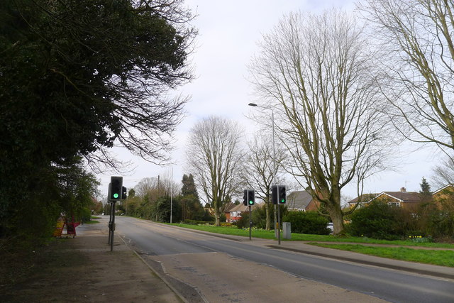
Image: © Tim Heaton Taken: 21 Mar 2020
Part of a major east-west trunk road across the middle of the country, from Lowestoft to Birmingham, runs through the middle of Leicester.
Images are licensed for reuse under creativecommons.org/licenses/by-sa/2.0
Image Location


Leaflet Map data © OpenStreetMap
Latitude
52.631056
Longitude
-1.042837