Pub Bridge over Wraysbury River
Introduction
The photograph on this page of Pub Bridge over Wraysbury River by Sean Davis as part of the Geograph project.
The Geograph project started in 2005 with the aim of publishing, organising and preserving representative images for every square kilometre of Great Britain, Ireland and the Isle of Man.

There are currently over 7.5m images from over 14,400 individuals and you can help contribute to the project by visiting https://www.geograph.org.uk
Pub Bridge over Wraysbury River
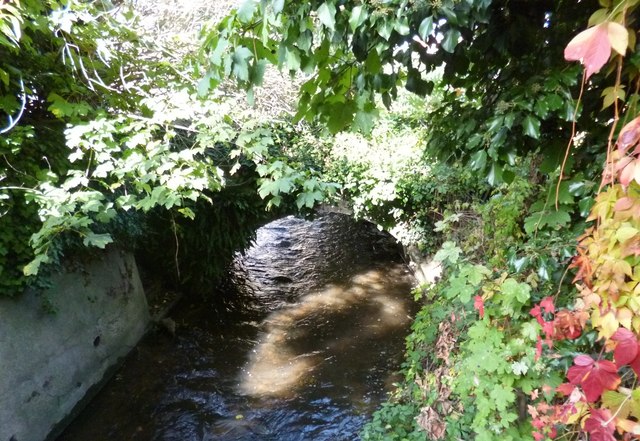
Image: © Sean Davis Taken: 12 Oct 2012
This is the old footbridge from the Two Rivers Pub, on Church Street, which links it to its beer garden on the other side of the Wraysbury River. The opposite side of the beer garden overlooks the River Colne.
Images are licensed for reuse under creativecommons.org/licenses/by-sa/2.0
Image Location
Latitude
51.434884
Longitude
-0.514638