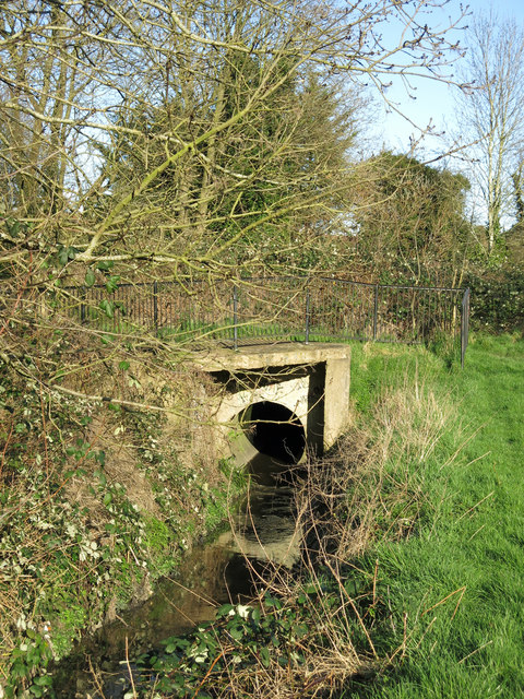
Culvert on Burnt Oak Brook
Introduction
The photograph on this page of Culvert on Burnt Oak Brook by Mike Quinn as part of the Geograph project.
The Geograph project started in 2005 with the aim of publishing, organising and preserving representative images for every square kilometre of Great Britain, Ireland and the Isle of Man.
There are currently over 7.5m images from over 14,400 individuals and you can help contribute to the project by visiting https://www.geograph.org.uk

Image: © Mike Quinn Taken: 26 Feb 2020
The culvert carries the stream under Image The source of the brook is a small pond on Holcombe Hill/The Mill Field by The Ridgeway in Image - see the map and satellite image http://openspace.nearby.org.uk/wheresthepath.htm?lat=51.62214304867671&lon=-0.23609628442052388&gz=19&oz=10>=1 and Image (photographed by Stacey Harris). The brook then follows what looks to be a partly artificial course down towards the junction of Victoria Road and Lawrence Street http://openspace.nearby.org.uk/wheresthepath.htm?lat=51.62214304867671&lon=-0.23609628442052388&gz=19&oz=10>=1 . It must then enter a culvert that passes under The Broadway in Mill Hill, the M1, and the WCML near Mill Hill Broadway station before emerging here near the northwest corner of Lyndhurst Park http://openspace.nearby.org.uk/wheresthepath.htm?lat=51.614932589650515&lon=-0.2482481269904202&gz=17&oz=10>=1 .

