The Longdendale Valley
Introduction
The photograph on this page of The Longdendale Valley by Stephen Burton as part of the Geograph project.
The Geograph project started in 2005 with the aim of publishing, organising and preserving representative images for every square kilometre of Great Britain, Ireland and the Isle of Man.

There are currently over 7.5m images from over 14,400 individuals and you can help contribute to the project by visiting https://www.geograph.org.uk
The Longdendale Valley
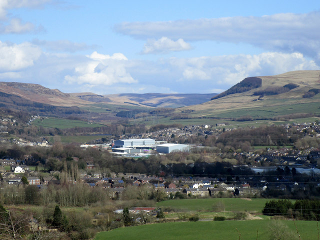
Image: © Stephen Burton Taken: 20 Mar 2020
View of the Longdendale Valley as seen from Mottram Cemetery. Parts of Hollingworth and Hadfield can be seen in the middle distance, the valley between the hills is the main road link from Manchester to Sheffield (The Woodhead Pass).
Images are licensed for reuse under creativecommons.org/licenses/by-sa/2.0
Image Location
Latitude
53.465241
Longitude
-1.98038