Looking towards Tollohill
Introduction
The photograph on this page of Looking towards Tollohill by Anne Burgess as part of the Geograph project.
The Geograph project started in 2005 with the aim of publishing, organising and preserving representative images for every square kilometre of Great Britain, Ireland and the Isle of Man.

There are currently over 7.5m images from over 14,400 individuals and you can help contribute to the project by visiting https://www.geograph.org.uk
Looking towards Tollohill
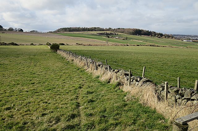
Image: © Anne Burgess Taken: 20 Mar 2020
The foreground dyke intersects the Burn of Leggart at the far side of the field, and from there the land rises gently towards Tollohill and Tollohill Woods.
Images are licensed for reuse under creativecommons.org/licenses/by-sa/2.0
Image Location
Latitude
57.106656
Longitude
-2.119833