Newly planted shelter belt
Introduction
The photograph on this page of Newly planted shelter belt by Richard Sutcliffe as part of the Geograph project.
The Geograph project started in 2005 with the aim of publishing, organising and preserving representative images for every square kilometre of Great Britain, Ireland and the Isle of Man.

There are currently over 7.5m images from over 14,400 individuals and you can help contribute to the project by visiting https://www.geograph.org.uk
Newly planted shelter belt
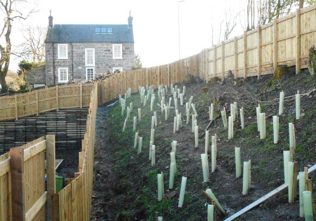
Image: © Richard Sutcliffe Taken: 15 Mar 2020
Trees or shrubs (species unknown) have been planted to form a shelter belt between new houses (to the left) and the A81, Milngavie Road (to the right). Lower Kilmardinny House is straight ahead.
Images are licensed for reuse under creativecommons.org/licenses/by-sa/2.0
Image Location
Latitude
55.927109
Longitude
-4.315091