Tower House, Granville Street
Introduction
The photograph on this page of Tower House, Granville Street by John Baker as part of the Geograph project.
The Geograph project started in 2005 with the aim of publishing, organising and preserving representative images for every square kilometre of Great Britain, Ireland and the Isle of Man.

There are currently over 7.5m images from over 14,400 individuals and you can help contribute to the project by visiting https://www.geograph.org.uk
Tower House, Granville Street
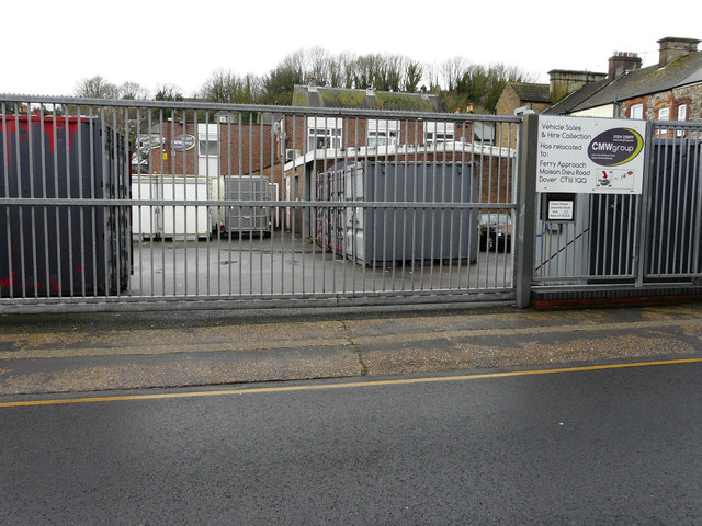
Image: © John Baker Taken: 2 Mar 2020
Planning permission has been granted by Dover District Council under application number DOV/19/01124 for the “erection of 5 dwellings, formation of new vehicle and pedestrian access with associated parking, cycle store and landscaping (existing buildings to be demolished)”.
Images are licensed for reuse under creativecommons.org/licenses/by-sa/2.0
Image Location
Latitude
51.132526
Longitude
1.304352