Marlborough ways [35]
Introduction
The photograph on this page of Marlborough ways [35] by Michael Dibb as part of the Geograph project.
The Geograph project started in 2005 with the aim of publishing, organising and preserving representative images for every square kilometre of Great Britain, Ireland and the Isle of Man.

There are currently over 7.5m images from over 14,400 individuals and you can help contribute to the project by visiting https://www.geograph.org.uk
Marlborough ways [35]
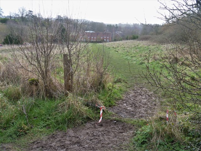
Image: © Michael Dibb Taken: 9 Mar 2020
From the bridleway near the top of the hill, another path has been created, a short cut towards The Hammonds, seen in the distance.
Images are licensed for reuse under creativecommons.org/licenses/by-sa/2.0
Image Location
Latitude
51.42126
Longitude
-1.742668