Top of Nuneaton Fundamental Benchmark
Introduction
The photograph on this page of Top of Nuneaton Fundamental Benchmark by Ian Paterson as part of the Geograph project.
The Geograph project started in 2005 with the aim of publishing, organising and preserving representative images for every square kilometre of Great Britain, Ireland and the Isle of Man.

There are currently over 7.5m images from over 14,400 individuals and you can help contribute to the project by visiting https://www.geograph.org.uk
Top of Nuneaton Fundamental Benchmark
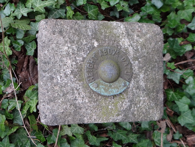
Image: © Ian Paterson Taken: 17 Mar 2020
Sadly overgrown and easily missed despite the mark being fenced off. For excellent details, see Image and Image
Images are licensed for reuse under creativecommons.org/licenses/by-sa/2.0
Image Location
Latitude
52.535428
Longitude
-1.50018