Rural energy infrastructure
Introduction
The photograph on this page of Rural energy infrastructure by Bill Harrison as part of the Geograph project.
The Geograph project started in 2005 with the aim of publishing, organising and preserving representative images for every square kilometre of Great Britain, Ireland and the Isle of Man.

There are currently over 7.5m images from over 14,400 individuals and you can help contribute to the project by visiting https://www.geograph.org.uk
Rural energy infrastructure
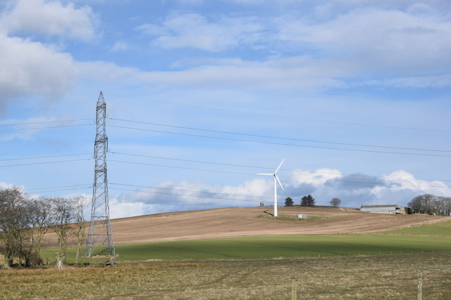
Image: © Bill Harrison Taken: 8 Mar 2020
Wind turbine and pylon in the Aberdeenshire countryside as seen from the Formartine and Buchan Way. Part of Newton of Kiddshill farm can be glimpsed on the hill in the background.
Images are licensed for reuse under creativecommons.org/licenses/by-sa/2.0
Image Location
Latitude
57.489675
Longitude
-2.127426