21st century housing, Somerton Road, Newport
Introduction
The photograph on this page of 21st century housing, Somerton Road, Newport by Jaggery as part of the Geograph project.
The Geograph project started in 2005 with the aim of publishing, organising and preserving representative images for every square kilometre of Great Britain, Ireland and the Isle of Man.

There are currently over 7.5m images from over 14,400 individuals and you can help contribute to the project by visiting https://www.geograph.org.uk
21st century housing, Somerton Road, Newport
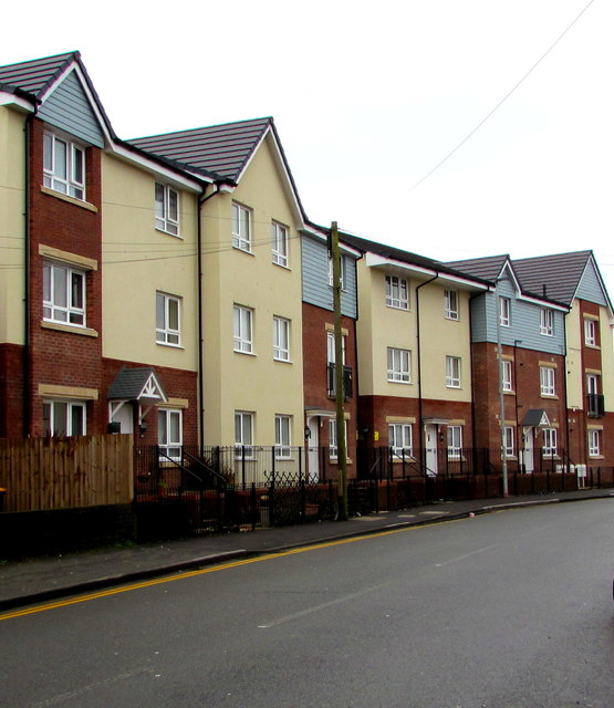
Image: © Jaggery Taken: 5 Mar 2020
Viewed in March 2020. The site was formerly occupied by the King pub seen here https://www.geograph.org.uk/photo/1504590 awaiting demolition in 2009.
Images are licensed for reuse under creativecommons.org/licenses/by-sa/2.0
Image Location
Latitude
51.581516
Longitude
-2.961416