Service Gates
Introduction
The photograph on this page of Service Gates by V1ncenze as part of the Geograph project.
The Geograph project started in 2005 with the aim of publishing, organising and preserving representative images for every square kilometre of Great Britain, Ireland and the Isle of Man.
There are currently over 7.5m images from over 14,400 individuals and you can help contribute to the project by visiting https://www.geograph.org.uk
![](https://s0.geograph.org.uk/geophotos/06/41/45/6414588_e26d1ff6.jpg)
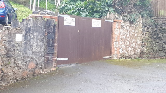
Image: © V1ncenze Taken: 9 Mar 2020
Service gates for block of flats at Fisher St, Paignton
Image Location
![](https://a.tile.openstreetmap.org/17/64237/44207.png)
![](https://b.tile.openstreetmap.org/17/64238/44207.png)
![](https://b.tile.openstreetmap.org/17/64237/44208.png)
![](https://c.tile.openstreetmap.org/17/64238/44208.png)
![](https://c.tile.openstreetmap.org/17/64236/44207.png)
![](https://c.tile.openstreetmap.org/17/64239/44207.png)
![](https://a.tile.openstreetmap.org/17/64236/44208.png)
![](https://a.tile.openstreetmap.org/17/64239/44208.png)
![](https://b.tile.openstreetmap.org/17/64235/44207.png)
![](https://a.tile.openstreetmap.org/17/64240/44207.png)
![](https://c.tile.openstreetmap.org/17/64235/44208.png)
![](https://b.tile.openstreetmap.org/17/64240/44208.png)
![Marker](https://streetguide.co.uk/includes/images/marker-icon-2x.png)