Haddon Corner
Introduction
The photograph on this page of Haddon Corner by Nigel Mykura as part of the Geograph project.
The Geograph project started in 2005 with the aim of publishing, organising and preserving representative images for every square kilometre of Great Britain, Ireland and the Isle of Man.

There are currently over 7.5m images from over 14,400 individuals and you can help contribute to the project by visiting https://www.geograph.org.uk
Haddon Corner
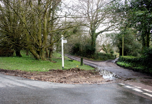
Image: © Nigel Mykura Taken: 29 Feb 2020
Haddon Corner is where the Shute Rd from Kilmington (on the left here) meets the Haddon Rd from Shute and is where the east Lodge of Shute Barton is located with a drive running down from here to the house. The middle of the three roads goes to Kilmington and the right hand one runs down to Hampton.
Images are licensed for reuse under creativecommons.org/licenses/by-sa/2.0
Image Location
Latitude
50.771458
Longitude
-3.049228