Ingsdon Mill and Mill House
Introduction
The photograph on this page of Ingsdon Mill and Mill House by Derek Harper as part of the Geograph project.
The Geograph project started in 2005 with the aim of publishing, organising and preserving representative images for every square kilometre of Great Britain, Ireland and the Isle of Man.

There are currently over 7.5m images from over 14,400 individuals and you can help contribute to the project by visiting https://www.geograph.org.uk
Ingsdon Mill and Mill House
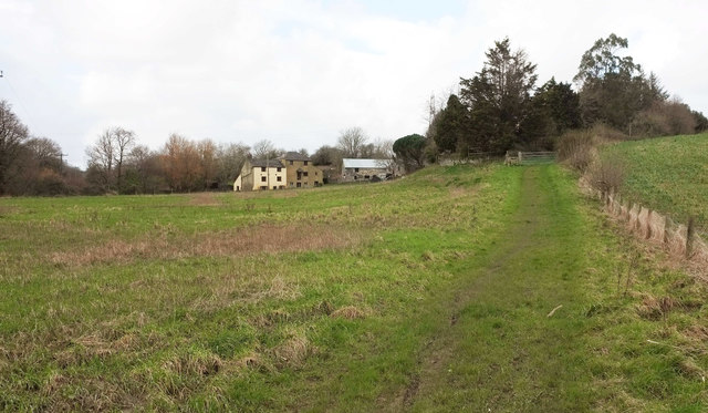
Image: © Derek Harper Taken: 13 Mar 2020
Shown more clearly from the A383 on the left of Image; seen here on a gloomy day from Newton Abbot footpath 9. The mill https://historicengland.org.uk/listing/the-list/list-entry/1240636 was fed by a leat from the River Lemon, which runs past the trees on the left.
Images are licensed for reuse under creativecommons.org/licenses/by-sa/2.0
Image Location
Latitude
50.53562
Longitude
-3.662619