Stables north of Perching Sands farmhouse
Introduction
The photograph on this page of Stables north of Perching Sands farmhouse by Ian Hawfinch as part of the Geograph project.
The Geograph project started in 2005 with the aim of publishing, organising and preserving representative images for every square kilometre of Great Britain, Ireland and the Isle of Man.

There are currently over 7.5m images from over 14,400 individuals and you can help contribute to the project by visiting https://www.geograph.org.uk
Stables north of Perching Sands farmhouse
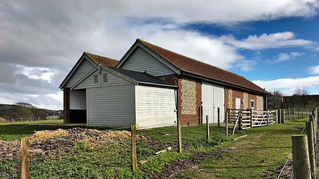
Image: © Ian Hawfinch Taken: 12 Mar 2020
The public footpath is just off the right-hand side of the photo - to the right of the fence. I think these stables are relatively new - I don't see them in other, earlier images for this square. Also they're not on the 1 : 25 000 OS map as far as I can see.
Images are licensed for reuse under creativecommons.org/licenses/by-sa/2.0
Image Location
Latitude
50.900454
Longitude
-0.236852