Otterburn Camp from the air
Introduction
The photograph on this page of Otterburn Camp from the air by Thomas Nugent as part of the Geograph project.
The Geograph project started in 2005 with the aim of publishing, organising and preserving representative images for every square kilometre of Great Britain, Ireland and the Isle of Man.

There are currently over 7.5m images from over 14,400 individuals and you can help contribute to the project by visiting https://www.geograph.org.uk
Otterburn Camp from the air
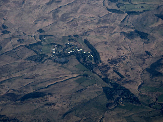
Image: © Thomas Nugent Taken: 3 Jan 2020
Otterburn Camp is part of the much larger military training area which was established in 1911 and consists of approximately 58,000 acres (24,300 hectares), of which 29,000 acres (11,750 hectares) is set aside for so-called ‘dry’ (i.e. non-firing) training. Viewed from 27,000 feet.
Images are licensed for reuse under creativecommons.org/licenses/by-sa/2.0
Image Location


Leaflet Map data © OpenStreetMap
Latitude
55.244555
Longitude
-2.182416