Watford: Holywell Road
Introduction
The photograph on this page of Watford: Holywell Road by Nigel Cox as part of the Geograph project.
The Geograph project started in 2005 with the aim of publishing, organising and preserving representative images for every square kilometre of Great Britain, Ireland and the Isle of Man.

There are currently over 7.5m images from over 14,400 individuals and you can help contribute to the project by visiting https://www.geograph.org.uk
Watford: Holywell Road
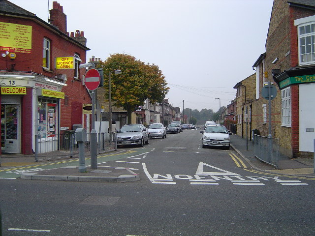
Image: © Nigel Cox Taken: 11 Oct 2005
A typical West Watford street scene, this one being taken looking south-westwards down Holywell Road from its junction with Harwoods Road, and showing the Victorian housing and the Council's parking and traffic management measures.
Images are licensed for reuse under creativecommons.org/licenses/by-sa/2.0
Image Location
Latitude
51.649265
Longitude
-0.405693