Harrison Street
Introduction
The photograph on this page of Harrison Street by Malcolm Neal as part of the Geograph project.
The Geograph project started in 2005 with the aim of publishing, organising and preserving representative images for every square kilometre of Great Britain, Ireland and the Isle of Man.

There are currently over 7.5m images from over 14,400 individuals and you can help contribute to the project by visiting https://www.geograph.org.uk
Harrison Street
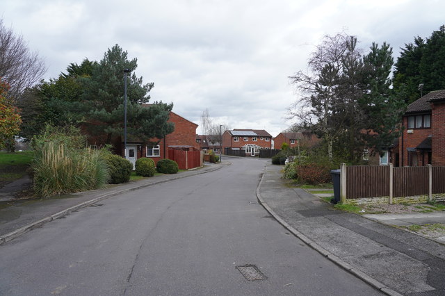
Image: © Malcolm Neal Taken: 11 Mar 2020
This view is towards the end of Harrison Street which is a modern cul-de-sac in an area of older houses.
Images are licensed for reuse under creativecommons.org/licenses/by-sa/2.0
Image Location
Latitude
52.91475
Longitude
-1.490324