Bennethead Banks
Introduction
The photograph on this page of Bennethead Banks by Andrew Smith as part of the Geograph project.
The Geograph project started in 2005 with the aim of publishing, organising and preserving representative images for every square kilometre of Great Britain, Ireland and the Isle of Man.

There are currently over 7.5m images from over 14,400 individuals and you can help contribute to the project by visiting https://www.geograph.org.uk
Bennethead Banks
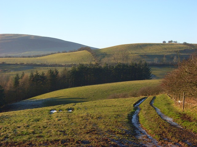
Image: © Andrew Smith Taken: 21 Dec 2007
Bennethead Banks is the low green hill. Beyond that are the slopes of Little Mell Fell. The track is a permissive footpath and descends to Wreay.
Images are licensed for reuse under creativecommons.org/licenses/by-sa/2.0
Image Location
Latitude
54.609874
Longitude
-2.863894