Path at the end of Whitwell Lane, Pontesbury
Introduction
The photograph on this page of Path at the end of Whitwell Lane, Pontesbury by Jeremy Bolwell as part of the Geograph project.
The Geograph project started in 2005 with the aim of publishing, organising and preserving representative images for every square kilometre of Great Britain, Ireland and the Isle of Man.

There are currently over 7.5m images from over 14,400 individuals and you can help contribute to the project by visiting https://www.geograph.org.uk
Path at the end of Whitwell Lane, Pontesbury
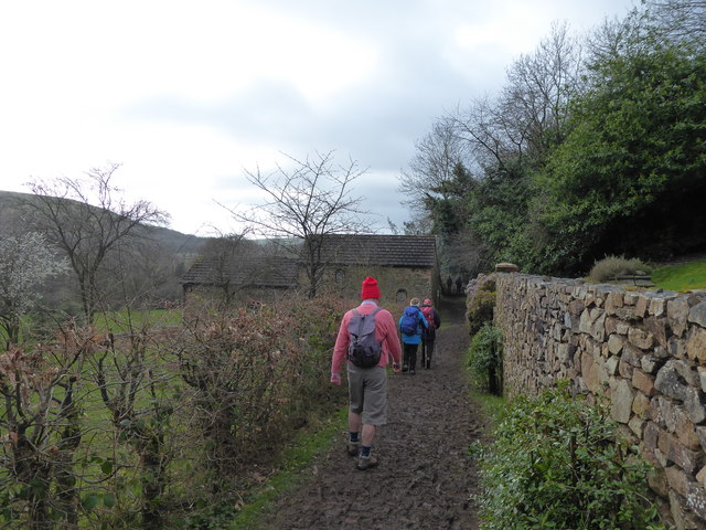
Image: © Jeremy Bolwell Taken: 7 Mar 2020
Walkers on the 2020 Pontesbury Potter potter along near the start of the 13 mile route. It is an ironically named charity walk, the opposite of a potter', more of a 'challenge', comprising lots of ascent and descent on little known and little used tracks, paths and byways and after the recent rains, in often deep mud a massive effort to complete for walkers with a very wide range of fitness levels, ages and abilities.
Images are licensed for reuse under creativecommons.org/licenses/by-sa/2.0
Image Location
Latitude
52.643256
Longitude
-2.890836