The railway at Ollerton
Introduction
The photograph on this page of The railway at Ollerton by Jonathan Thacker as part of the Geograph project.
The Geograph project started in 2005 with the aim of publishing, organising and preserving representative images for every square kilometre of Great Britain, Ireland and the Isle of Man.

There are currently over 7.5m images from over 14,400 individuals and you can help contribute to the project by visiting https://www.geograph.org.uk
The railway at Ollerton
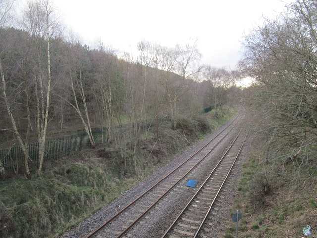
Image: © Jonathan Thacker Taken: 8 Mar 2020
Only one track seems to be in use - as a test track for Network Rail https://en.wikipedia.org/wiki/High_Marnham_Test_Track There is a campaign to reopen this line to passenger trains between Shirebrook Junction and a point a little to the east of where this photograph was taken. Stations would be provided at Warsop, Edwinstowe and Ollerton.
Images are licensed for reuse under creativecommons.org/licenses/by-sa/2.0
Image Location
Latitude
53.198411
Longitude
-1.012135