Muddy Field near Pressing Iron and Shears Farm
Introduction
The photograph on this page of Muddy Field near Pressing Iron and Shears Farm by Nigel Mykura as part of the Geograph project.
The Geograph project started in 2005 with the aim of publishing, organising and preserving representative images for every square kilometre of Great Britain, Ireland and the Isle of Man.

There are currently over 7.5m images from over 14,400 individuals and you can help contribute to the project by visiting https://www.geograph.org.uk
Muddy Field near Pressing Iron and Shears Farm
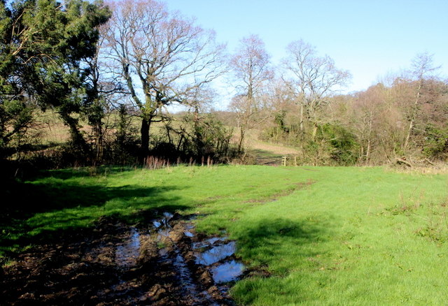
Image: © Nigel Mykura Taken: 29 Feb 2020
The strangely named nearby farm appears to have got its name from an inn (public house) that stood near to the stream that runs through this field.
Images are licensed for reuse under creativecommons.org/licenses/by-sa/2.0
Image Location
Latitude
50.764556
Longitude
-3.086082