Grand Union Canal at the Cape, Warwick
Introduction
The photograph on this page of Grand Union Canal at the Cape, Warwick by Robin Stott as part of the Geograph project.
The Geograph project started in 2005 with the aim of publishing, organising and preserving representative images for every square kilometre of Great Britain, Ireland and the Isle of Man.

There are currently over 7.5m images from over 14,400 individuals and you can help contribute to the project by visiting https://www.geograph.org.uk
Grand Union Canal at the Cape, Warwick
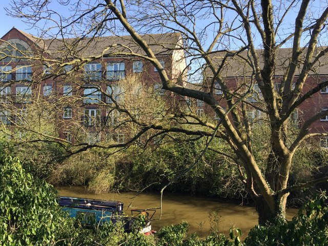
Image: © Robin Stott Taken: 10 Apr 2019
Where once there was industry https://collection.sciencemuseumgroup.org.uk/people/cp16743/cape-engineering-company-limited four-storey blocks of flats overlook the canal. The photo is taken from the track down to Cape Top Lock from Cape Road. A photograph from 1972 by Dr Neil Clifton gives an impression of the change: Image
Images are licensed for reuse under creativecommons.org/licenses/by-sa/2.0
Image Location
Latitude
52.291627
Longitude
-1.597641