Field, Russell's Green
Introduction
The photograph on this page of Field, Russell's Green by Simon Carey as part of the Geograph project.
The Geograph project started in 2005 with the aim of publishing, organising and preserving representative images for every square kilometre of Great Britain, Ireland and the Isle of Man.

There are currently over 7.5m images from over 14,400 individuals and you can help contribute to the project by visiting https://www.geograph.org.uk
Field, Russell's Green
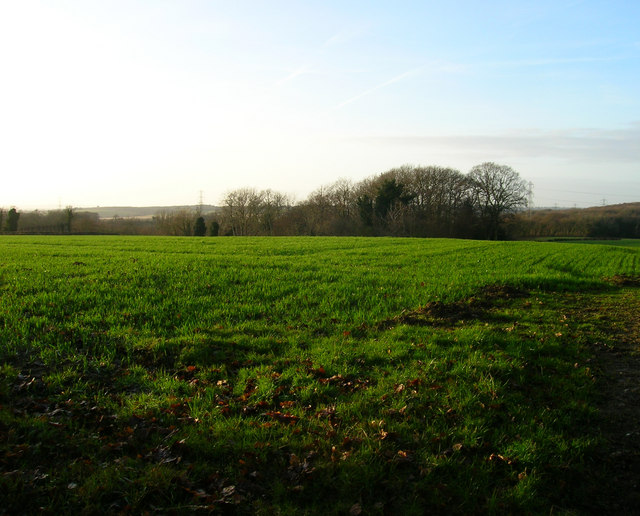
Image: © Simon Carey Taken: 26 Dec 2007
Having attempted to get in the square from the north and failed had to resort to taking a picture over a gate next to the B2095 the only public access in the extreme south east corner of the square.
Images are licensed for reuse under creativecommons.org/licenses/by-sa/2.0
Image Location
Latitude
50.875048
Longitude
0.413927