OS benchmark - Stepaside, gatepost of chapel
Introduction
The photograph on this page of OS benchmark - Stepaside, gatepost of chapel by Richard Law as part of the Geograph project.
The Geograph project started in 2005 with the aim of publishing, organising and preserving representative images for every square kilometre of Great Britain, Ireland and the Isle of Man.

There are currently over 7.5m images from over 14,400 individuals and you can help contribute to the project by visiting https://www.geograph.org.uk
OS benchmark - Stepaside, gatepost of chapel
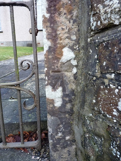
Image: © Richard Law Taken: 25 Dec 2019
Located on the stone gatepost of the Methodist Chapel, this OS benchmark was levelled in 1971 at 22.369m above Ordnance Datum Newlyn.
Images are licensed for reuse under creativecommons.org/licenses/by-sa/2.0
Image Location
Latitude
51.7324
Longitude
-4.690595