Thundridge: Old Church Lane
Introduction
The photograph on this page of Thundridge: Old Church Lane by Nigel Cox as part of the Geograph project.
The Geograph project started in 2005 with the aim of publishing, organising and preserving representative images for every square kilometre of Great Britain, Ireland and the Isle of Man.

There are currently over 7.5m images from over 14,400 individuals and you can help contribute to the project by visiting https://www.geograph.org.uk
Thundridge: Old Church Lane
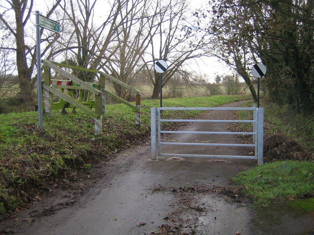
Image: © Nigel Cox Taken: 25 Nov 2007
Old Church Lane leads, unsurprisingly, to the ruined old Church of St Mary and All Saints. However since the construction of the A10 Wadesmill Bypass it has been truncated for public vehicle use, and the national speed limit signs beyond the gate are now somewhat redundant. Beyond the embankment to the left is the River Rib.
Images are licensed for reuse under creativecommons.org/licenses/by-sa/2.0
Image Location
Latitude
51.837755
Longitude
-0.027451