Former Kitchener Barracks, Dock Road
Introduction
The photograph on this page of Former Kitchener Barracks, Dock Road by John Baker as part of the Geograph project.
The Geograph project started in 2005 with the aim of publishing, organising and preserving representative images for every square kilometre of Great Britain, Ireland and the Isle of Man.

There are currently over 7.5m images from over 14,400 individuals and you can help contribute to the project by visiting https://www.geograph.org.uk
Former Kitchener Barracks, Dock Road
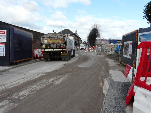
Image: © John Baker Taken: 26 Feb 2020
Planning permission has been approved, with conditions, by Medway Council under application number MC/15/0081 for “change of use of the former Barrack Block to Class C3 (residential) and associated external alterations, change of use of the former Ordnance Store to use Classes A1 (shop), A2 (financial and professional services), A3 (restaurant and cafe), A4 (drinking establishment), B1 (business), D1 (non residential institution) and associated works”. Viewed from Khartoum Road; these were the Image in July 2019.
Images are licensed for reuse under creativecommons.org/licenses/by-sa/2.0
Image Location
Latitude
51.387927
Longitude
0.526352