Crookbarrow Hill or Whittington Tump
Introduction
The photograph on this page of Crookbarrow Hill or Whittington Tump by Anthony Parkes as part of the Geograph project.
The Geograph project started in 2005 with the aim of publishing, organising and preserving representative images for every square kilometre of Great Britain, Ireland and the Isle of Man.

There are currently over 7.5m images from over 14,400 individuals and you can help contribute to the project by visiting https://www.geograph.org.uk
Crookbarrow Hill or Whittington Tump
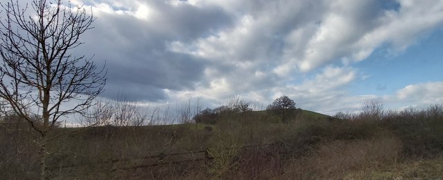
Image: © Anthony Parkes Taken: 6 Mar 2020
This is a partly artificial mound in Worcestershire. There is evidence of pre-historic activity at the site and some sources say it was fortified by the Romans (a Romano-British settlement has also been found nearby). The site came to prominence during the Anglo-Saxon era when a settlement was established. In the mediaeval period, a manor house was established next to the hill and a motte castle constructed atop it. The castle has since disappeared and the area returned to agricultural use. The site was listed as a scheduled monument in 1923.
Images are licensed for reuse under creativecommons.org/licenses/by-sa/2.0
Image Location
Latitude
52.168639
Longitude
-2.185058