Riverside Way
Introduction
The photograph on this page of Riverside Way by Ian Capper as part of the Geograph project.
The Geograph project started in 2005 with the aim of publishing, organising and preserving representative images for every square kilometre of Great Britain, Ireland and the Isle of Man.

There are currently over 7.5m images from over 14,400 individuals and you can help contribute to the project by visiting https://www.geograph.org.uk
Riverside Way
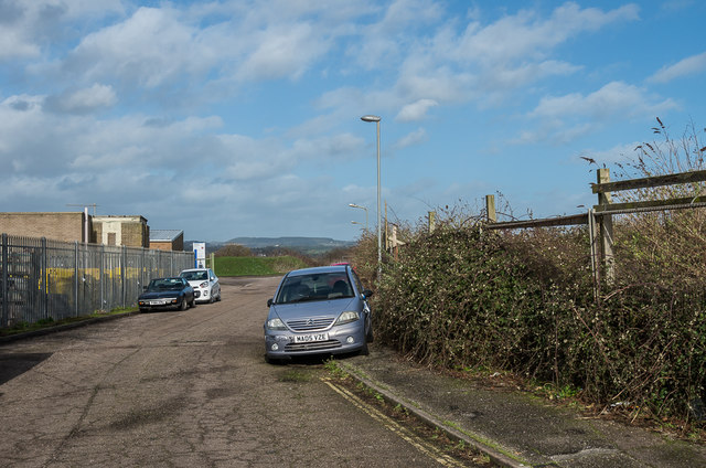
Image: © Ian Capper Taken: 8 Feb 2020
Cul-de-sac off Harbour Road leading to a small industrial estate. Old maps suggest that this was once railway land, including the railway goods yard on the right. The 1968-73 1:2,500 map, after closure of the railway, is the first to mark the road, but unmamed, and shows the area on the right housing an "Electronic Engineering Factory", with a coal yard on the left. The 1980-89 edition, the first to name the road, shows the factory to have expanded (although no longer naming it) and the development of the light industrial units as "Riverside Workshops" in the left background. I have separately discovered that the electronics factory was operated by Racal Electronics, who used the site for defence communications work. It closed in 2000 following the loss of a major contract and the site was demolished in 2008. In this photo, the workshops remain, but the area on the right is still derelict.
Images are licensed for reuse under creativecommons.org/licenses/by-sa/2.0
Image Location
Latitude
50.705141
Longitude
-3.061568