Aerial view - Barnwood area of Gloucester
Introduction
The photograph on this page of Aerial view - Barnwood area of Gloucester by Colin Park as part of the Geograph project.
The Geograph project started in 2005 with the aim of publishing, organising and preserving representative images for every square kilometre of Great Britain, Ireland and the Isle of Man.

There are currently over 7.5m images from over 14,400 individuals and you can help contribute to the project by visiting https://www.geograph.org.uk
Aerial view - Barnwood area of Gloucester
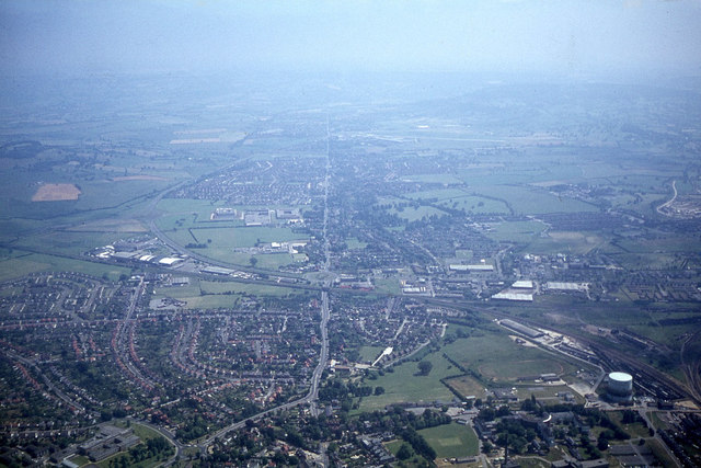
Image: © Colin Park Taken: 16 Jul 1978
The Roman Road Ermin Way shows up well in this photograph.
Images are licensed for reuse under creativecommons.org/licenses/by-sa/2.0
Image Location
Latitude
51.864077
Longitude
-2.212993