South Green Staindrop
Introduction
The photograph on this page of South Green Staindrop by Malcolm Neal as part of the Geograph project.
The Geograph project started in 2005 with the aim of publishing, organising and preserving representative images for every square kilometre of Great Britain, Ireland and the Isle of Man.

There are currently over 7.5m images from over 14,400 individuals and you can help contribute to the project by visiting https://www.geograph.org.uk
South Green Staindrop
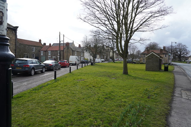
Image: © Malcolm Neal Taken: 4 Mar 2020
Staindrop has two green spaces, named South Green and North Green. This makes for a very wide area running along the main street of the village.
Images are licensed for reuse under creativecommons.org/licenses/by-sa/2.0
Image Location
Latitude
54.58
Longitude
-1.805032