Westleigh House view across street - council offices now demolished
Introduction
The photograph on this page of Westleigh House view across street - council offices now demolished by Duncan Graham as part of the Geograph project.
The Geograph project started in 2005 with the aim of publishing, organising and preserving representative images for every square kilometre of Great Britain, Ireland and the Isle of Man.

There are currently over 7.5m images from over 14,400 individuals and you can help contribute to the project by visiting https://www.geograph.org.uk
Westleigh House view across street - council offices now demolished
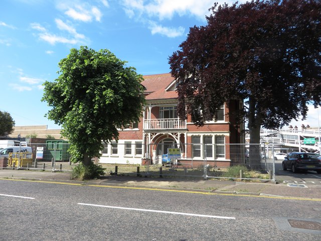
Image: © Duncan Graham Taken: 14 Jun 2019
Shows Westleigh House in Carnarvon Road, which formerly housed Tendring District Council offices, immediately before demolition in 2019 to make way for additional parking spaces. The neighbouring car park is visible to the right.
Images are licensed for reuse under creativecommons.org/licenses/by-sa/2.0
Image Location
Latitude
51.791542
Longitude
1.15524