Benchmark on wall outside #2 Cromwell Road at Hawksley Avenue junction
Introduction
The photograph on this page of Benchmark on wall outside #2 Cromwell Road at Hawksley Avenue junction by Roger Templeman as part of the Geograph project.
The Geograph project started in 2005 with the aim of publishing, organising and preserving representative images for every square kilometre of Great Britain, Ireland and the Isle of Man.

There are currently over 7.5m images from over 14,400 individuals and you can help contribute to the project by visiting https://www.geograph.org.uk
Benchmark on wall outside #2 Cromwell Road at Hawksley Avenue junction
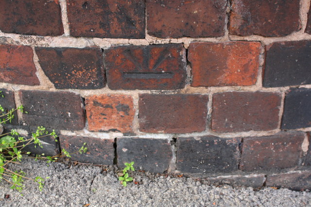
Image: © Roger Templeman Taken: 8 Sep 2019
Ordnance Survey cut mark benchmark levelled at 112.304m above Newlyn Datum in 1961. The mark is inverted which may mean be the wall has been rebuilt since the mark was cut.
Images are licensed for reuse under creativecommons.org/licenses/by-sa/2.0
Image Location
Latitude
53.241812
Longitude
-1.438498