No. 16 Gladstone Road ('Russell House')
Introduction
The photograph on this page of No. 16 Gladstone Road ('Russell House') by Roger Templeman as part of the Geograph project.
The Geograph project started in 2005 with the aim of publishing, organising and preserving representative images for every square kilometre of Great Britain, Ireland and the Isle of Man.

There are currently over 7.5m images from over 14,400 individuals and you can help contribute to the project by visiting https://www.geograph.org.uk
No. 16 Gladstone Road ('Russell House')
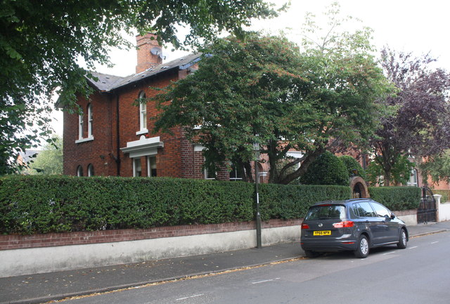
Image: © Roger Templeman Taken: 8 Sep 2019
Ordnance Survey records indicate that a benchmark levelled at 109.770m above Newlyn Datum was present on the wall in 1961. The bottom section of the wall is pebbledashed with 3 brick courses added above resulting in the possible loss of the mark.
Images are licensed for reuse under creativecommons.org/licenses/by-sa/2.0
Image Location
Latitude
53.241083
Longitude
-1.43641