New housing at Westcliff
Introduction
The photograph on this page of New housing at Westcliff by Lairich Rig as part of the Geograph project.
The Geograph project started in 2005 with the aim of publishing, organising and preserving representative images for every square kilometre of Great Britain, Ireland and the Isle of Man.

There are currently over 7.5m images from over 14,400 individuals and you can help contribute to the project by visiting https://www.geograph.org.uk
New housing at Westcliff
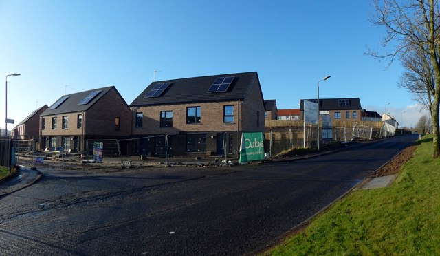
Image: © Lairich Rig Taken: 12 Jan 2020
These recently-built houses in the Westcliff area of Dumbarton are beside Talisman Avenue (shown receding from view at the far left) and Westcliff (the next side-street along, running parallel to Talisman Avenue). The view is from Cardross Road, which is prominent in the foreground. The buildings that formerly stood beside Talisman Avenue are shown in Image, a view from the other end of that street. For views during the intervening period, see Image and Image
Images are licensed for reuse under creativecommons.org/licenses/by-sa/2.0
Image Location
Latitude
55.947762
Longitude
-4.595506