OS benchmark - Stableford, wall at corner of greenhouse
Introduction
The photograph on this page of OS benchmark - Stableford, wall at corner of greenhouse by Richard Law as part of the Geograph project.
The Geograph project started in 2005 with the aim of publishing, organising and preserving representative images for every square kilometre of Great Britain, Ireland and the Isle of Man.

There are currently over 7.5m images from over 14,400 individuals and you can help contribute to the project by visiting https://www.geograph.org.uk
OS benchmark - Stableford, wall at corner of greenhouse
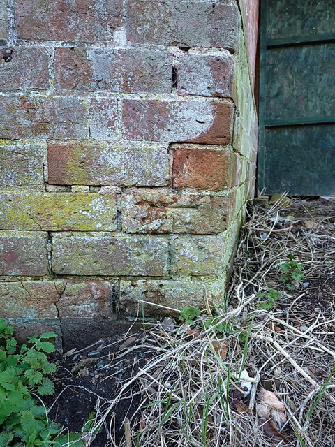
Image: © Richard Law Taken: 1 Mar 2020
Located at the roadside on a wall described by the OS as "E face wall NE ang of greenhouse Stableford Hall" when last levelled in 1959 at 47.767m above Ordnance Datum Newlyn.
Images are licensed for reuse under creativecommons.org/licenses/by-sa/2.0
Image Location
Latitude
52.58557
Longitude
-2.355955