Edge of Ellacombe Plantation
Introduction
The photograph on this page of Edge of Ellacombe Plantation by Derek Harper as part of the Geograph project.
The Geograph project started in 2005 with the aim of publishing, organising and preserving representative images for every square kilometre of Great Britain, Ireland and the Isle of Man.

There are currently over 7.5m images from over 14,400 individuals and you can help contribute to the project by visiting https://www.geograph.org.uk
Edge of Ellacombe Plantation
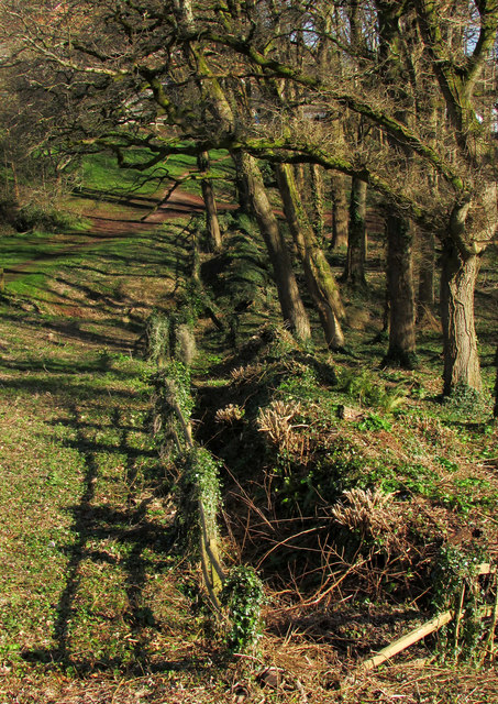
Image: © Derek Harper Taken: 27 Feb 2020
A decisive boundary of fence, ditch and bank on the northern side of the wood. Seen from Centenary Way.
Images are licensed for reuse under creativecommons.org/licenses/by-sa/2.0
Image Location
Latitude
50.49046
Longitude
-3.559527