Temple recreation ground
Introduction
The photograph on this page of Temple recreation ground by Thomas Nugent as part of the Geograph project.
The Geograph project started in 2005 with the aim of publishing, organising and preserving representative images for every square kilometre of Great Britain, Ireland and the Isle of Man.

There are currently over 7.5m images from over 14,400 individuals and you can help contribute to the project by visiting https://www.geograph.org.uk
Temple recreation ground
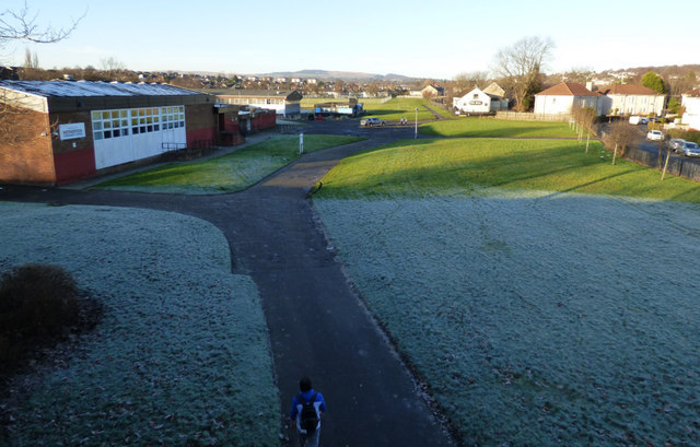
Image: © Thomas Nugent Taken: 31 Dec 2019
The park is on the site of Knightswood brickworks, which closed in the early 1930s https://www.scottishbrickhistory.co.uk/knightswood-brickworks-knightswood-glasgow/ . The mineral line which served the works ran away from the camera and into the distance. Taken from the former railway bridge on Fulton Street.
Images are licensed for reuse under creativecommons.org/licenses/by-sa/2.0
Image Location
Latitude
55.896909
Longitude
-4.334245